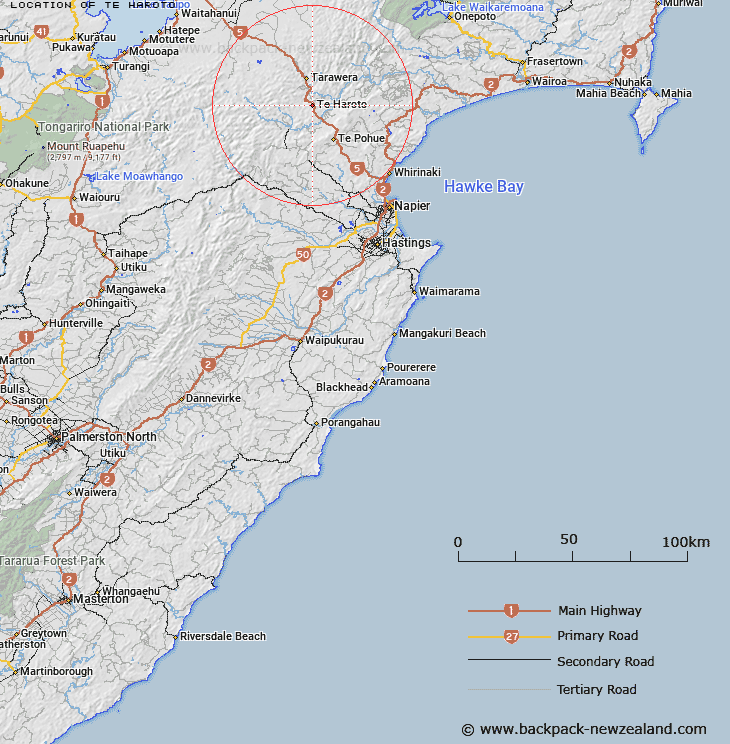
Te Haroto is a rural community in the Hastings District and Hawke's Bay Region of New Zealand's North Island.
It is located roughly 60 kilometres northwest of Napier and southeast of Taupō on State Highway 5 Napier-Taupō Road.
The main village centres around Te Hāroto Marae. Te Rongopai is the wharepuni (meeting house) and Piriwiritua is the wharekai (dining hall) a meeting place for the iwi (tribe) of Ngāti Hineuru.
The New Zealand Ministry for Culture and Heritage gives a translation of "the pool" for Te Hāroto.
References